
It would, presumably, be between the SNP and an Irish grouping for the largest single party in that Union, so if she expands her realm, she'd happily cede the Borders!
-
-
What league would Celtic and Rangers play in, Celtic nation or Northland.Comment
-
Here's a stereotyped German's stereotyped view of Europe on a map. This has been around for a couple of years but still amusing. It's just for fun; don't take it seriously. Many football references!Comment
-
Similar to above, here's a humorous stereotyped German's stereotyped view of the World on a map. Again, not to be taken seriously.Comment
-
-
Only beaten to it by a mere 4 months GY (smiley thing etc)Originally posted by Gawpus View Post
Historical map of the Mississippi river :
http://www.radicalcartography.net/index.html?fiskComment
-
It's literally the same thing in the preceding post Guy...Comment
-
Oops
i think of "historical" differently, but the thumbnail is pretty, isn't it?Comment
-
Sure is.
Any old excuse to show off your Twitter linking skillz eh?Comment
-
I suspect that this has already appeared here but do have a look at Orbis for all your journey planning needs across the Ancient Roman world.Comment
-
Comment
-
Bodleian Library.
Oxford
"Talking Maps" (to 8 Mar, apparently)Comment
-
-
Comment
-
If I may be the first to quibble and suggest that the Prince of Wales is nearer to Wimbledon Tube than the Hand & Racquet.Comment
-
And the Royal Surrey isn't the closest pub to Morden Tube at the end of the Northern Line, it's Ganley's Irish Bar, or the Emergency Piss Stop as I call it.Comment
-
If you read through his methodology on the blog post linked from that article, you may find an explanation of either why your pubs aren't pubs, or - more likely - why they aren't considered closest according to the data points he's using.Comment
-
Originally posted by San Bernardhinault View Post
Fair play to Adam, I've read his methodology he's certainly put some effort in, but I still maintain my quibbles, though his selections are certainly close enough to make no difference.Comment
-
-
Map-adjacent, here as some great co-registered satellite images showing before-and-after the Ridgecrest earthquake. Because the scenery changes so slowly in the desert, old satellite images and new ones can be better compared than almost anywhere else, so you see the shearing really, really clearly.
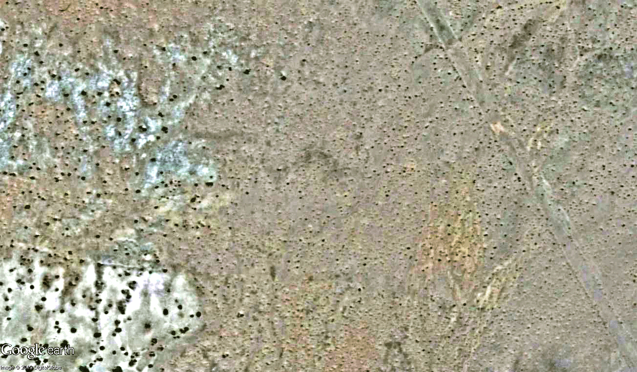
Comment
-
Comment
-
This is a nice interview with a collector of "persuasive cartography" https://daily.jstor.org/persuasive-c...source=twitterComment
-
Compasses to point true north for first time in 360 years
https://www.theguardian.com/science/...idApp_WhatsAppComment


Comment